Update: Gold Nuggets On The Colorado

While searching both sides of the Colorado River for the Lost Cache of Gold Nuggets I stopped by the Ranger’s Office at the Picacho State Recreational Area.
It is located about 20 miles north of Winterhaven, CA and the road getting there is mostly a rough gravel and sand road. If you go a truck would be a preferable vehicle of transportation. The ranger’s office is not staffed full time so the caretaker at the campground may be able to help you.
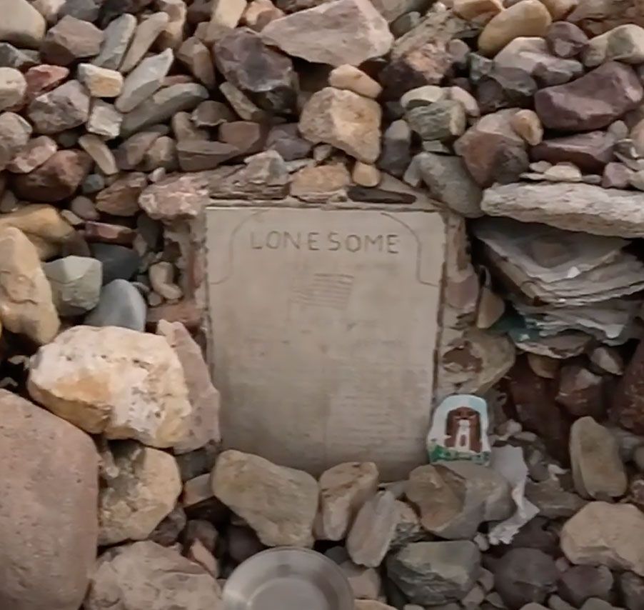
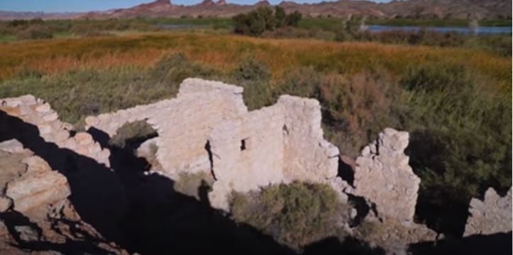
There is a campground there along with a boat ramp even though I wouldn’t take my boat on the road getting back there. You can get there by boat on the Colorado River from the Arizona side downstream at Martinez Landing or Fisher’s Landing. The old Picacho Mill Ruins are a short hike from here.
In the Ranger’s Office I was shown an old map drawn in 1920 by a lady named Mariana Sambrano. It was a map of the Colorado River as she remembered it and included roads, houses, the schoolhouse, mines, and mills on both sides of the river. It seemed to be more detailed on the California side than the Arizona side probably because of the mining going on around Picacho.
It is well worth looking at just as it was perceived by somebody that lived during that time period and how they remembered things long forgotten.
Enjoy!
Greg Hawk
Treasure Videos